The interactive map, available in English, French and German, updates data on an hourly basis from 98 monitoring stations in the Greater Region and includes information on the type of monitoring station.
It was developed under the auspices of the Greater Region Summit's environment working group as part of the cross-border networking of air monitoring data sub-working group.
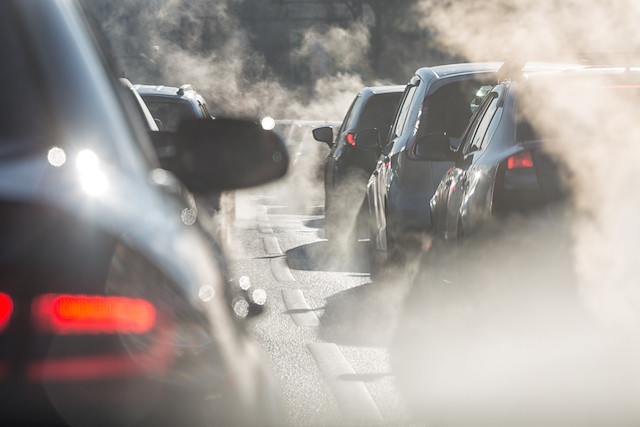
The data is based on the European Air Quality Index, which is calculated on the basis of five main pollutants that are harmful to citizens' health and the environment:
- Particulate matter (PM2.5 and PM10);
- tropospheric ozone (O3);
- nitrogen dioxide (NO2);
- sulfur dioxide (SO2).
For each pollutant measured by a station, a sub-index is calculated from the hourly average of pollutant concentrations, except for particulate matter (PM2.5 and PM10), where the sub-index is based on a 24-hour moving average of concentrations (because of large fluctuations). The index displayed is the highest of the sub-indices and is ranked on a scale from “good” (index 1) to “extremely poor” (index 6).
The 98 stations from which data is drawn are managed by the accredited institutions of the respective areas: Administration de l'environnement (the grand duchy), ATMO (Grand Est), Landesamt für Umwelt (Rhineland-Palatinate), Landesamt für Umwelt- und Arbeitsschutz (Sarre) and Service Public de Wallonie (Wallonia).
According to the Luxembourg government “This first cross-border cooperation in the field of air quality at the level of the Greater Region is a first step towards more ambitious projects such as the development of an application that will allow citizens to get information about the daily or future air quality in their territory.”