The sectoral plans aim to implement the land use planning policy as defined in the master programme (PDAT). There are four of them which cover the areas of housing, transport, economic activity zones and landscapes. These four sectoral plans make it possible to frame territorial development at the national level by developing a long-term vision.
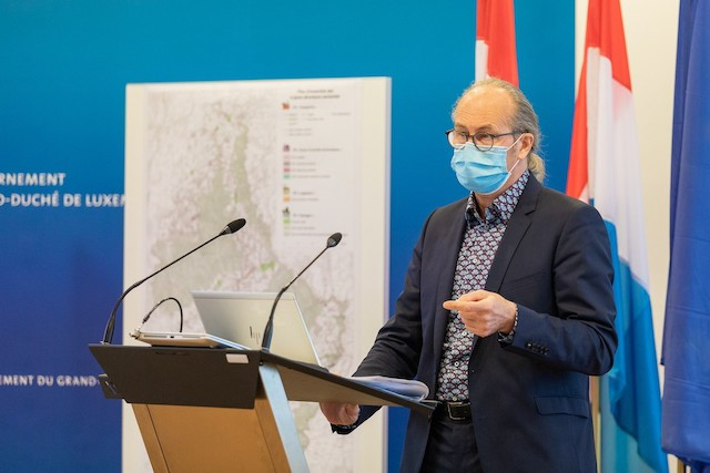
"The objective of the sectoral plans is to promote a development of the national territory which protects the landscapes, enhances the common resources of a region and contributes to an efficient and rational use of the needs in terms of land use,” according to minister of regional planning, Claude Turmes (Déi Gréng).
A long-term job
The development of these sector plans is the fruit of a long process which began in 2003, when it was decided that the PDAT should be broken down into four sector plans.
The drafts of the sectoral master plans were presented in 2008 and the first procedure launched in June 2014 by François Bausch(Déi Gréng) , then regional planning minister.
Legal actions were then taken, and a second procedure was launched again in 2018. At the beginning of 2019, the projects were submitted to citizens and municipalities, who made nearly 2,000 comments, which then were taken into account and analysed.
In July 2019, the sectoral plans were presented to the council of state, which delivered its opinion in May 2020, before the law was finally voted in February 2021, resulting in implementation as of 1 March.
Guarantee balanced development
The objective of these sectoral plans is to reserve land to guarantee balanced and sustainable development throughout Luxembourg. Additionally, any future project that has to be developed on one of these sites must have as an activity that which has been assigned to it within the framework of the sectoral plans. This is how land is reserved for the construction of housing, others for transport infrastructure, others for business areas or as natural spaces. However, sectoral plans may need to be modified occasionally to correspond to a reality on the ground. An inter-ministerial monitoring commission is also dedicated to this task and will interact with the municipalities which must apply the sectoral plans through their general development plans.
Thanks to the public consultation, the development of these sectoral plans was carried out in full transparency and is the result of a consensus with citizens, municipalities and socio-economic actors. This was supplemented by sustained consultation at technical and political level between administrations, ministries and other administrative entities concerned. In this way, overall consistency could be guaranteed.
Four plans, four visions
Each sectoral plan develops a vision of land use planning which must subsequently be transposed into PAGs, taking into account local specificities. But by doing so, it is possible to avoid classifications contrary to the objectives of spatial planning at the national level.
The housing sector plan (PSL) emphasises the possibility of building affordable housing. It determines priority housing areas in which 30% of the gross built area must be dedicated to affordable housing.
It’s interesting to note that in areas classified as priority areas, a right of preemption is conferred on the State and the municipalities. This is the occasion for more land to finally come into the public hands and thus come out of land speculation. With the 481.2 ha of area reserved by this sectoral plan, it would be possible to build housing for at least 50,000 inhabitants.
The "economic activity zones" sectoral plan (PSZAE) encourages municipalities to develop inter-municipal strategies to implement regional economic activity zones. This makes it possible to avoid the sprawl of the landscape and also to develop larger-scale projects which can thus be the subject of urban planning, so it’s possible to integrate upstream the question of mobility and sustainable construction according to the principles of the circular economy and quality of life on the new site.
The “Landscapes” sectoral plan (PSP) ensures the permanence of landscapes across the country, protected from any real estate pressure, to ensure the ecological and biodiversity functions, but also agricultural or recreational production areas. Three categories of landscape areas have been defined: the "green cuts" which limit urban areas, the "green interurban zone", green spaces located around the largest urban areas in the country, and finally the large landscape groups, large territorial entities with exceptional landscape qualities. In total, the areas protected by this PSP cover 3,887.2 ha.
Finally, the "Transport" sector plan (PST) reserves the corridors necessary for the implementation of mobility, whether for large-scale projects such as the rapid tram in the direction of Esch-sur-Alzette, or the national cycle paths. But this also concerns relay parking projects and hubs. In total, the PST includes 81 transport infrastructure projects.
All the maps showing the sectoral plans are available on the regional planning department website and on Géoportail.
This article was originally published in French on Paperjam.lu and has been translated and edited for Delano.